
AUSTRALIAN EX-MILITARY AUCTION - 4-10 APRIL 2024
AERO | LAND
SURVEY & MAPPING SYSTEM
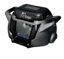
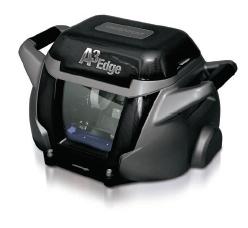
VISIONMAP A3 EDGE

Ex-Military Public Offering
Australian Frontline Machinery is proud to offer the VisionMap A3 Edge Aero Land Survey & Mapping System via Public Auction, previously owned by the Australian Defence Force.
Auction Live: 4:00 pm Thur, 4 Apr 2024
Auction Close: tbc Wed, 10 Apr 2024
A3 Edge Difference

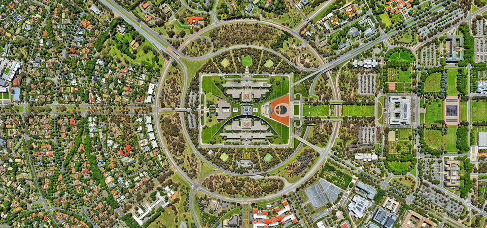
The A3 Edge is VisionMap's all-encompassing digital mapping system, which generates photographic maps 2-5 times faster than alternative systems.
The A3 Edge aerial camera captures ground images with unmatched altitude resolution, while the LightSpeed automated processing software delivers top-tier
photogrammetric products with sub-pixel accuracy & and unrivalled processing productivity, catering to military applications, land surveying, & 3D modelling.
A3 Edge Camers
Aerial Survey Camera
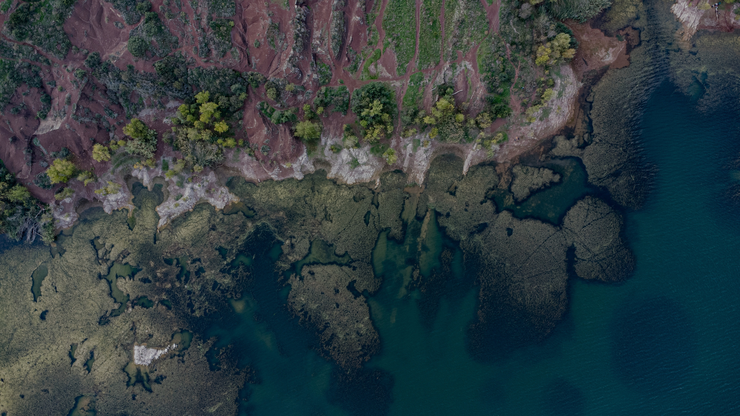
The digital aerial camera captures colour or thermal day/night ground images, offering unparalleled resolution per altitude. Capable of collecting 10 cm Ground Sample Distance imagery from a height of 11,000 ft.
Two cutting-edge CCDs swiftly capture expansive images up to 250 MPix/sec at exceptionally high resolution with precision, producing vivid, sharp, and high-quality imagery.
A3 Edge is VisionMap’s all-in-one digital mapping system.
A fully-automatic LightSpeed processing system, A3 Edge provides final photogrammetric products at sub-pixel accuracy, with the highest processing productivity.
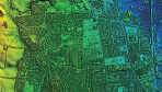
LightSpeed Data Processing
Data/ Image Processing
Automated software processes the acquired data to generate photographic maps catering to military applications, land surveying, and 3D modelling.
LightSpeed System for Imagery Processing
The LightSpeed fully automatic processing system efficiently manages vast amounts of A3 imagery, serving various mapping applications. It produces high-quality photogrammetric products, including Digital Terrain Models (DTM), Digital Surface Models (DSM), orthophotos, stereo models, and both vertical and oblique imagery.

Features
3D Modelling
The A3 Edge sensor is ideal for 3D city modelling, thanks to its unique sweep technology capturing high-resolution imagery of rooftops and facades in a single flight.
LightSpeed's Robust AT
Accuracy assessment (AT) by LightSpeed is performed simultaneously on both nadir and oblique imagery, ensuring reliability.
Accuracy Features
A3 Edge provides an exceptionally robust and accurate AT solution through a combination of features:
- High resolution captured by A3's long focal length (300mm).
- A large base-height ratio results in A3's vast Field of View (FOV).
- A substantial number of tie points.

Who Can Use It
Emergency Services
- Damage Estimation
- Emergency Management
Industrial | Infrastructure | Cultural & Real Estate
- Town & City Planning
- Sea Ports, Airports, Railways
- Forestry, Earth Work Calculations
- Monitoring of Historical Buildings
- Real Estate Inspection & Assessments
Government | Security
- Military Applications
- Government Organisations: Police, Fire Brigade, Ambulance
Miscellaneous
- Search Engines (Google, Bing, Yandex)
- Tourism
How To Bid At Auction
Create An Account With Our Auctioneers: https://www.pickles.com.au/sign-in
Auction Live: 4:00 pm Thur, 4 Apr 2024
Auction Close: tbc Wed, 10 Apr 2024
Inspection
Date: 8-9 April 2024
Time: 8:00 am - 3:00 pm
Where: 23 Hoffman Rd, Thurgoona NSW, 2640

Contact Us
Contact
Email: support@australianfrontlinemachinery.com.au
Phone: 02 8796 1800
Our Location
Address: 23 Hoffman Rd, Thurgoona NSW, 2640